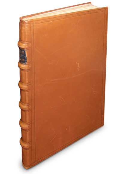
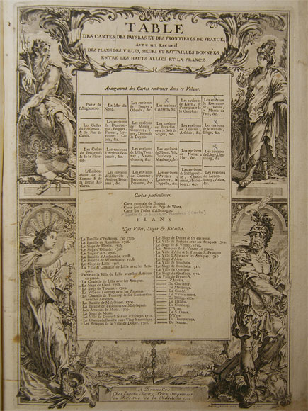
We are presenting the rare atlas „Table des cartes des Pays Bas et des frontières de France“ (Bruxelles, Fricx, 1712) by Eugene Henri Fricx containing 71 mostly double-page, partly folded copper engraving maps and plans of the Netherlands as well as of Belgium and France.
Eugene Henri Fricx (1644 – 1730) lived in Bruxelles where he was active as bookseller and publisher. He is also considered one of the most important Dutch cartographers of the 18th century.
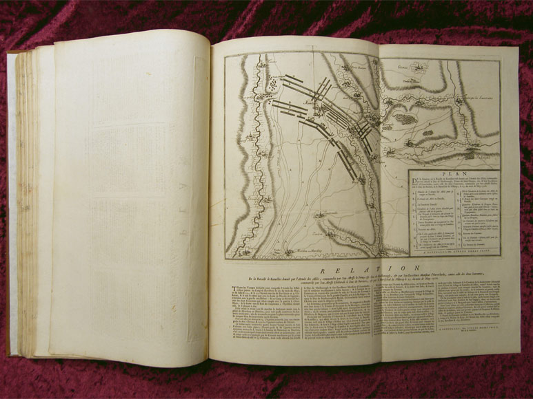
It is the first atlas by Fricx entitled „Table des cartes des Pays Bas et des frontières de France, avec un recueil des plans des villes, sièges et batailles données entre les hauts alliés et la France“.
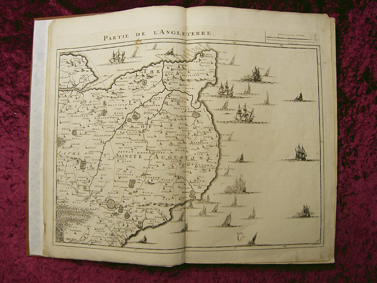
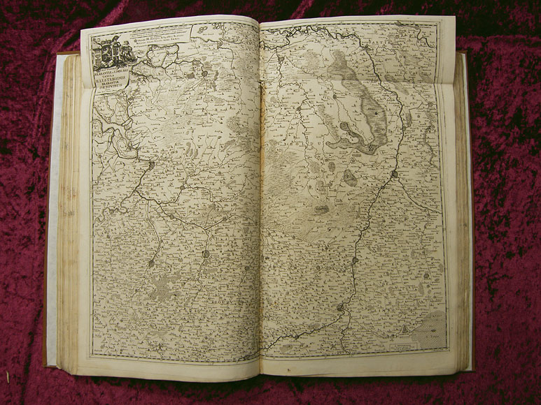
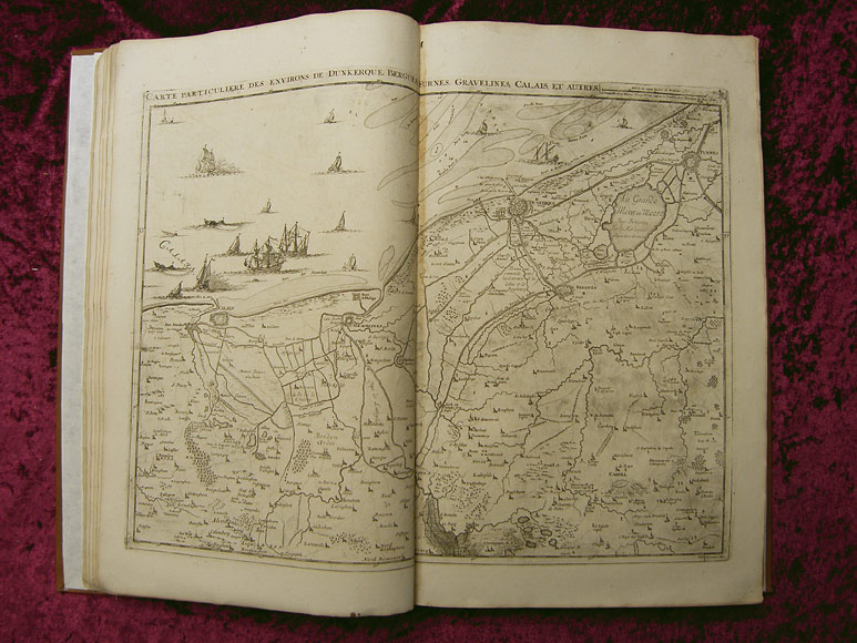
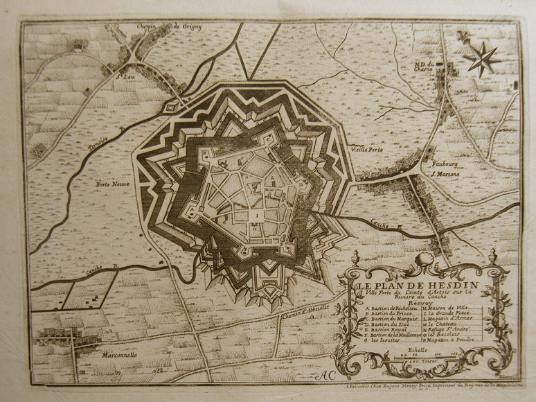
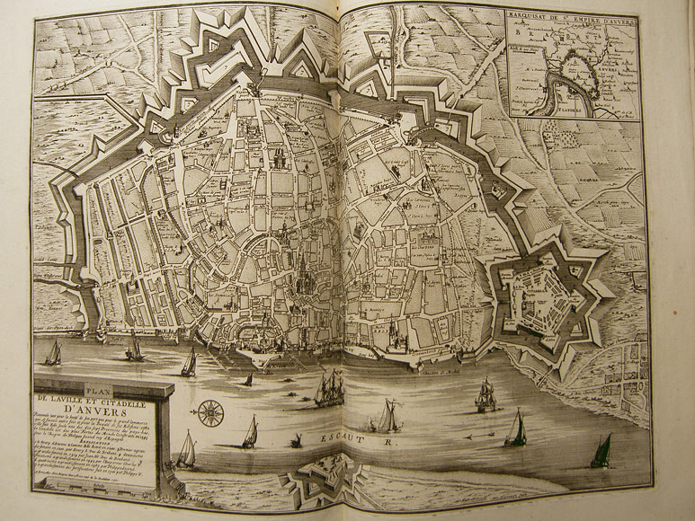
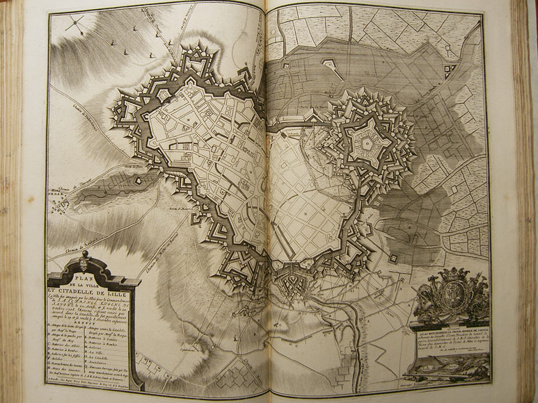
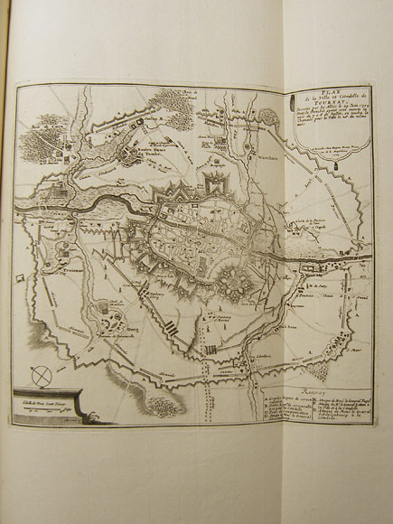
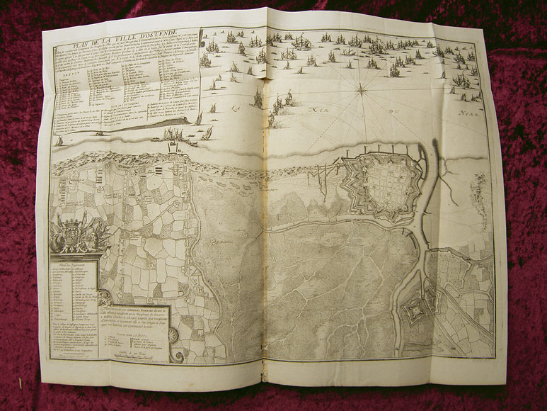
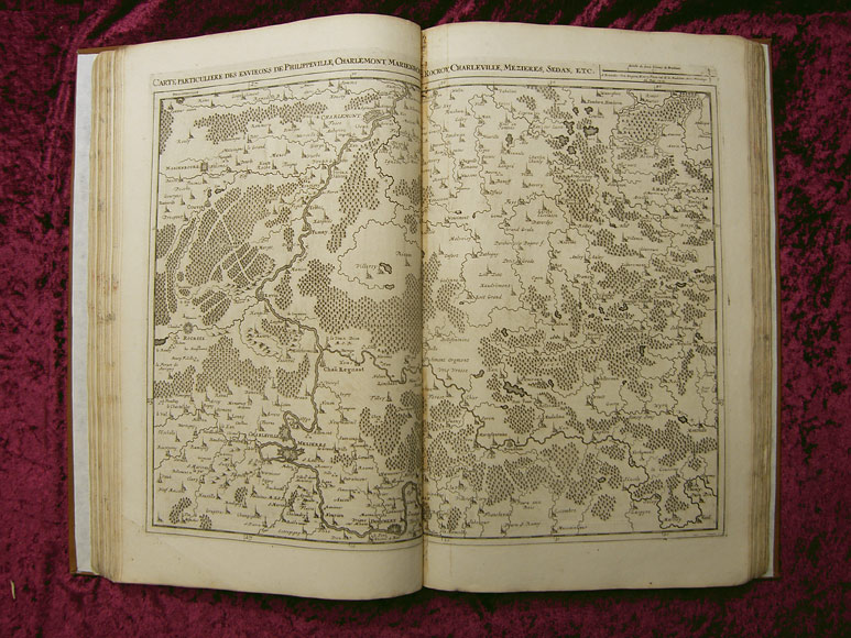
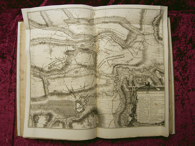
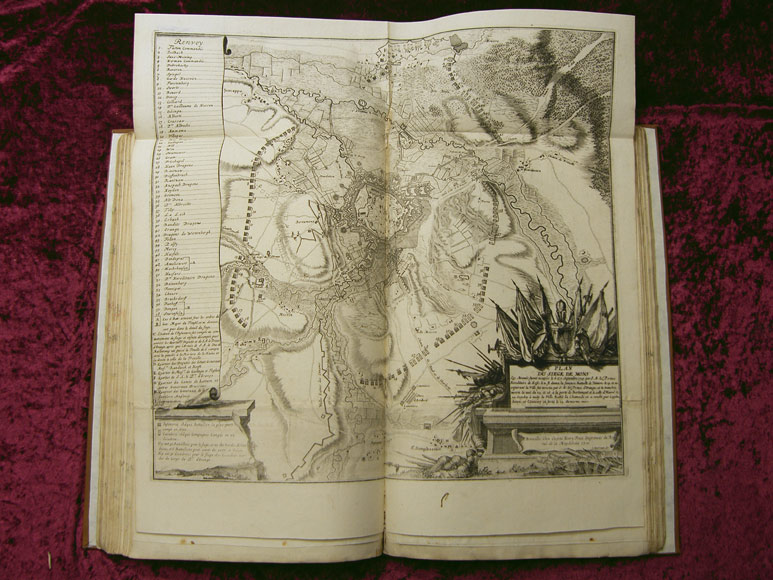
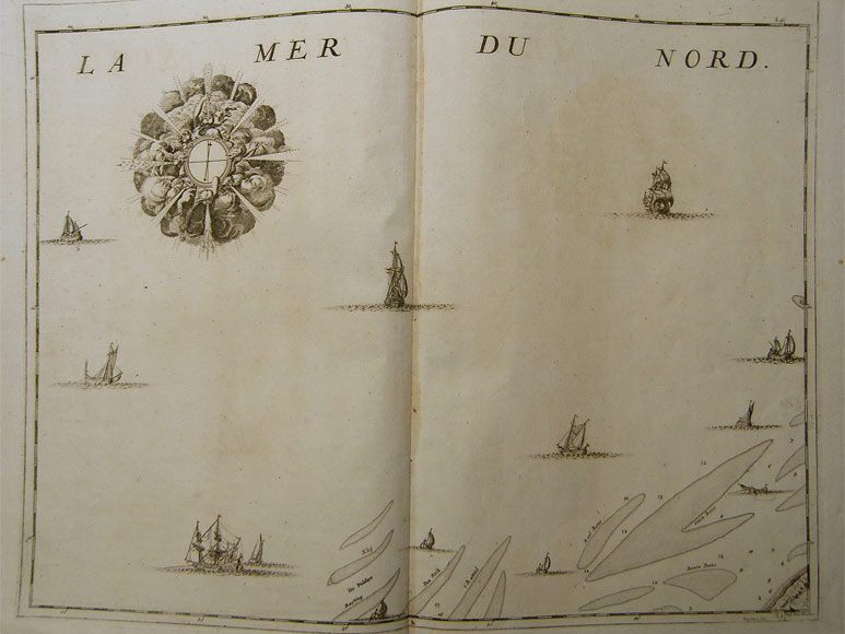
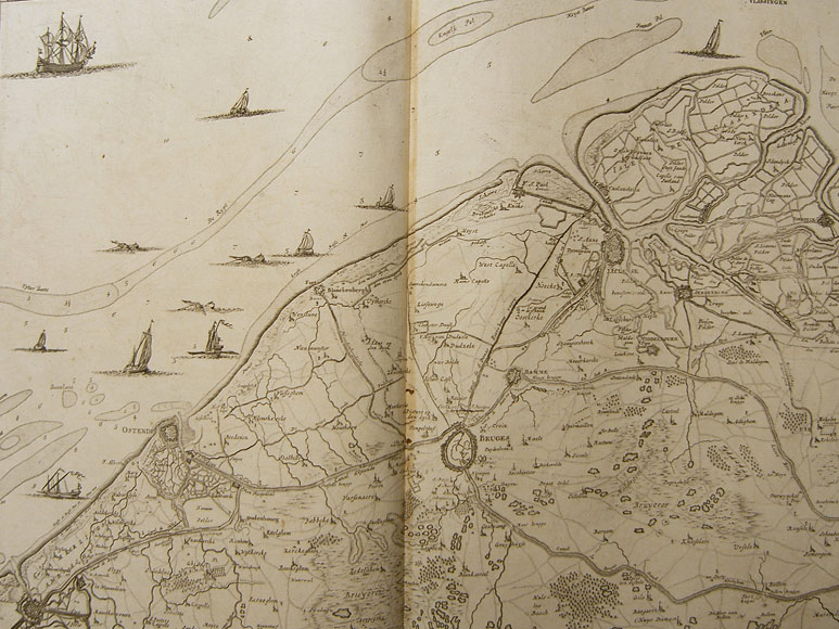
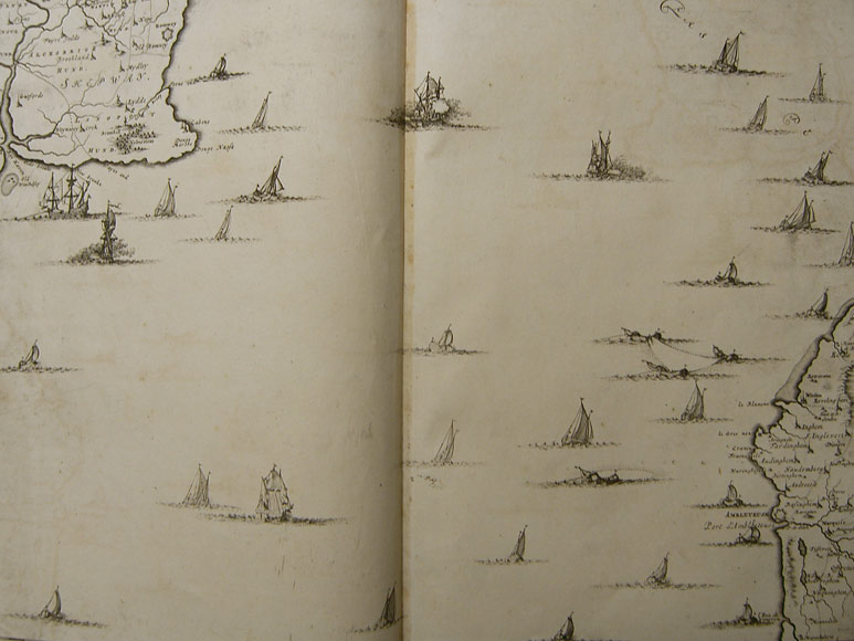
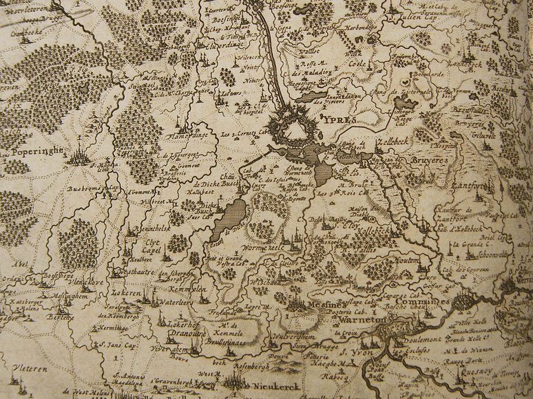
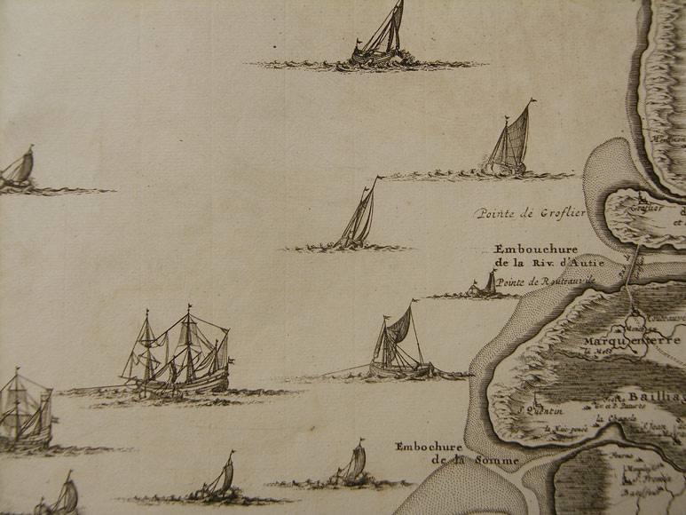
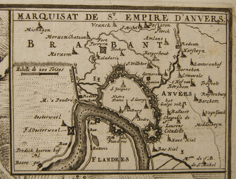
The volume contains 19 (of 23) maps which can be put together to a very large map of the Netherlands (the parts Anvers, Roermonde, Maestricht, Liege are missing). Leaf 24 is a map of Luxemburg which is dated 1727. The remaining engraved tables include town and battle plans of the War of Spanish Succession, partly with attached printed legend.
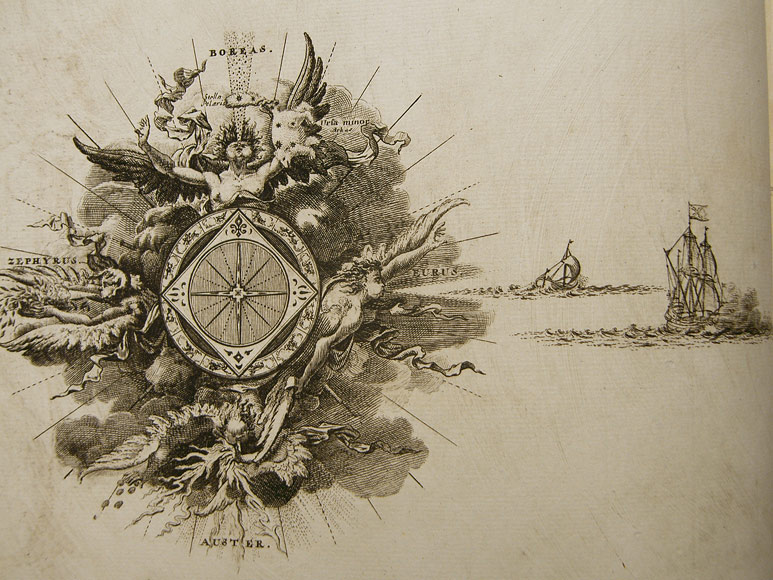
Besides 4 missing parts of the large map of the Netherlands the "Plan de action... de Wynendale" is lacking. In return there are 3 engravings included which are not mentioned by Koeman: "Exactissima Brabantiae et Limburgi tabula...", "Theatre de la guerre en Flandres" and "Plan de la ville et chateau de Namur...". At the beginning there is a nice engraved title page contained, decorated by figures and battle scenes.
The detailed depiction of the Netherlands in 23 sections proved to be very popular and served as master for several other publishers of the time like Covens, Mortier, Crepy and Desnos. In 1758 Albrecht Carl Seutter published an atlas with reduced versions of the maps by Fricx.