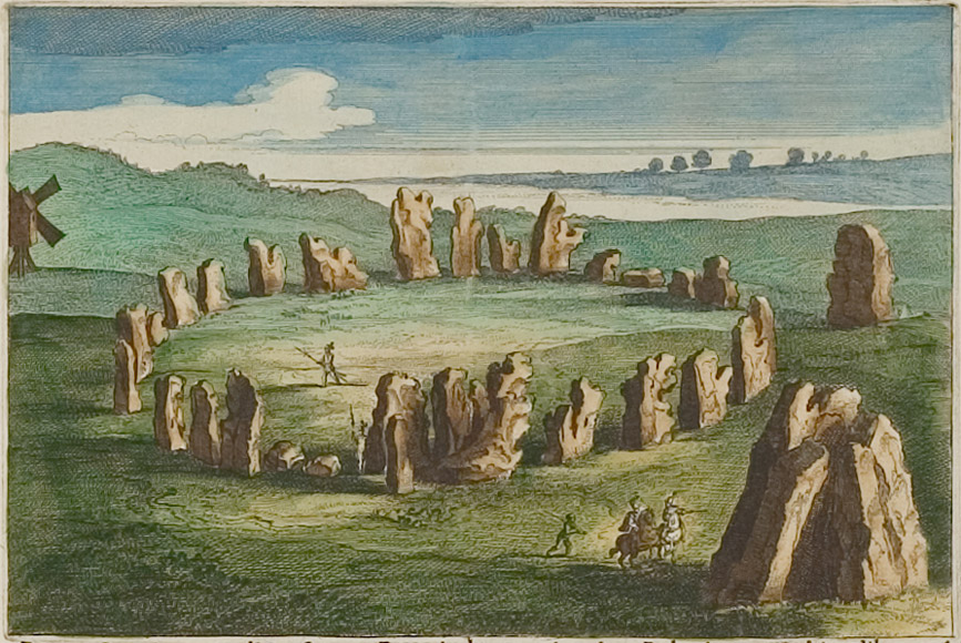
Several generations of the cartographer and publisher family Blaeu have decisively contributed to the international fame of Dutch cartography in the 17th century.
Willem Janszoon Blaeu
The founder of the famous printing and publishing house was Willem Janszoon Blaeu (* 1571 in Alkmaar, Niederlande; † 1638 in Amsterdam; also: Guilielmus Janssonius Caesius, Willem Jansz, Willems Jans Zoon, Guilielmus oder G. Blaeu).
Around the turn of the century he settled in Amsterdam as seller of globes and maps. In 1605 he bought a house there, whose sign, a golden sundial, became Blaeu’s cachet.
Starting in 1599 Blaeu produced globes in 5 different sizes. From 1604 his first maps were published, among them large-sized world maps and wall maps of the continents.
Blaeu moreover developed as an important publisher for sea handbooks and sea charts. This led to his appointment as official map maker of the Dutch East India Company.
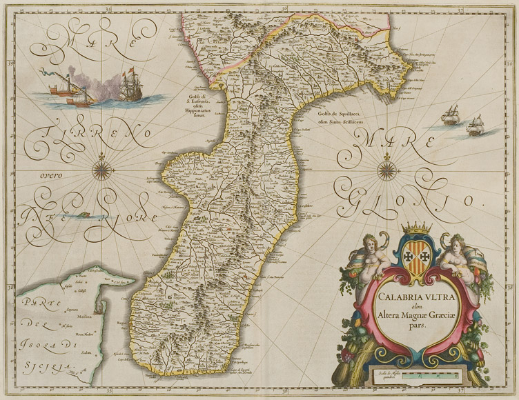
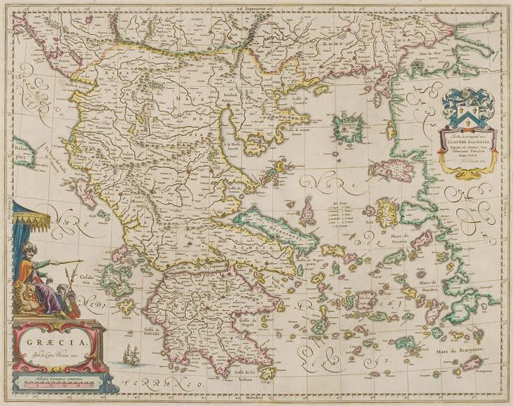
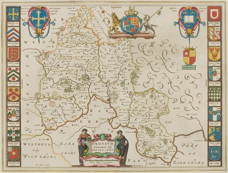
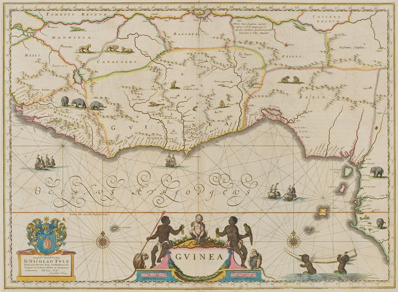
Some of Blaeu’s early single maps became re-used in the „Atlantis Appendix“ (1630). However, the most maps printed in this work have been produced by the copper plates which had been sold to Blaeu by Jodocus Hondius. The atlas was published again in 1631 in an extended version which caused Blaeu’s competitors Henricus Hondius and Johann Janssonius to publish similar works too.
Thereupon, a heavy competition started in the atlas production of Amsterdam. With every edition it was tried to surpass the work that was last published by the rivals.
In 1634 Blaeu’s large “Atlas Novus” was published, first in German, later also in Dutch and French.